Ita
Ita


Registered
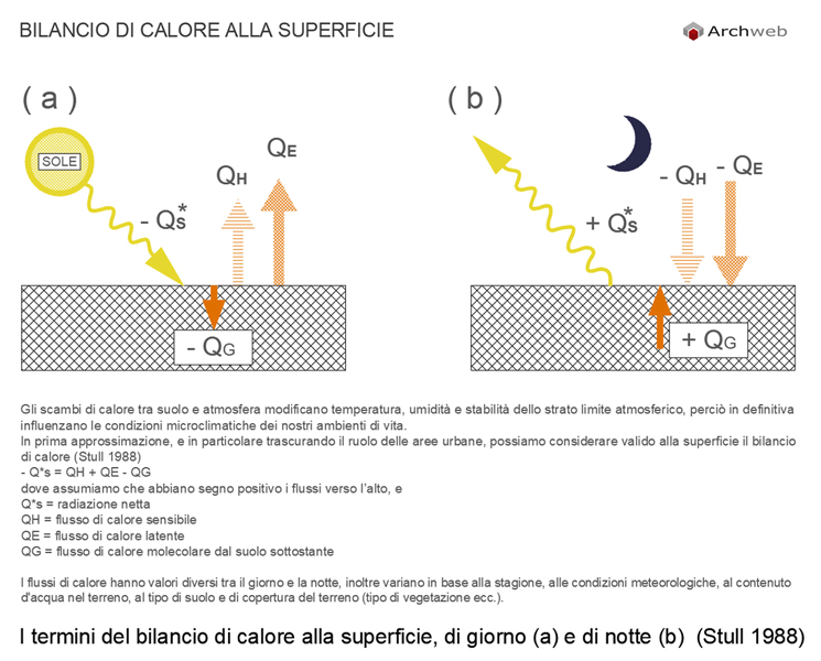
Surface energy balance
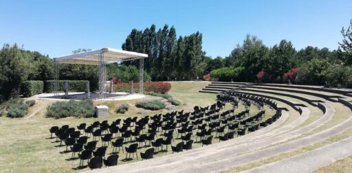
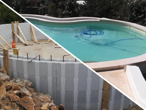
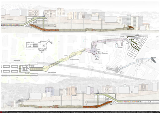
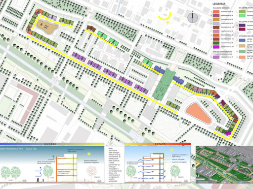
1:100 Scale dwg file (meters)
Conversion from meters to feet: a fast and fairly accurate system consists in scaling the drawing by multiplying the value of the unit of measurement in meters by 3.281
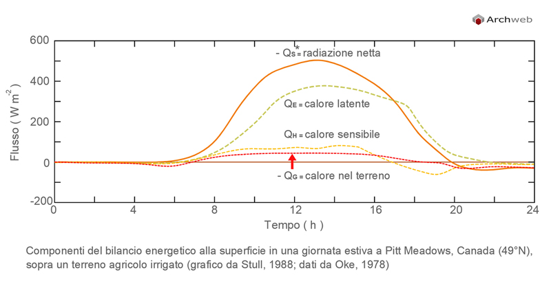
The relationship between sensible heat flux and latent heat flux is called Bowen's relationship
β = Qh / Qe
and it depends on the humidity available in the soil, the type of soil and the ground cover
(type of vegetation etc)
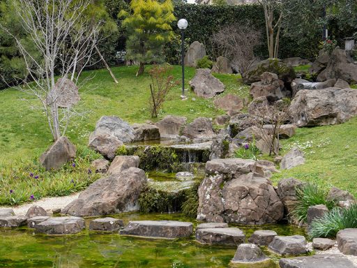
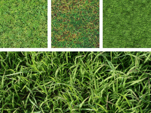
Ground Cover - Typical values of Bowen's relationship
Semi-arid regions: 5
Grasslands: 0.5
Forests: 0.5
Irrigated grasslands: 0.2
Sea: 0.1
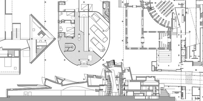
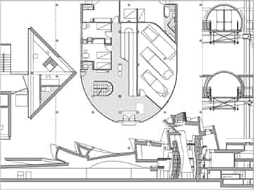
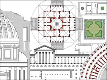
Recommended CAD blocks
DWG
DWG
How the download works?
To download files from Archweb.com there are 4 types of downloads, identified by 4 different colors. Discover the subscriptions
Free
for all
Free
for Archweb users
Subscription
for Premium users
Single purchase
pay 1 and download 1