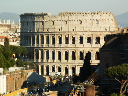
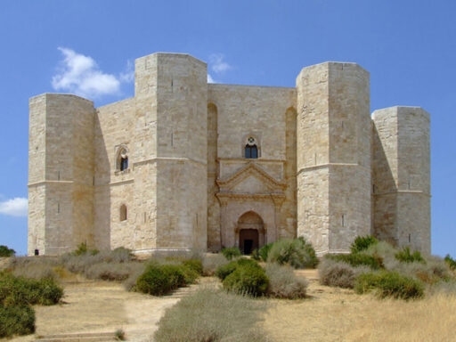
Ita
Ita


Free
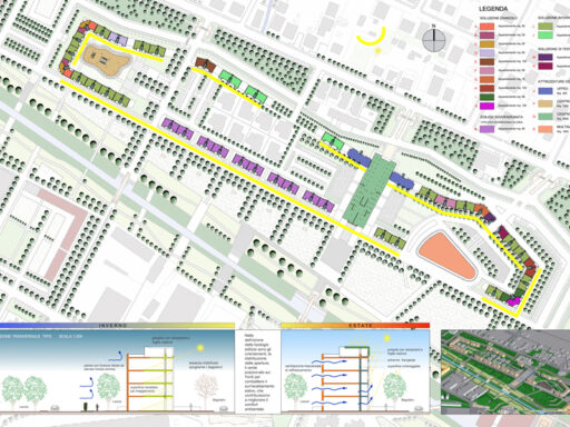
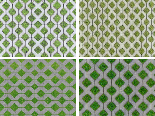
Urban heat island
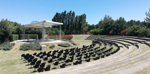
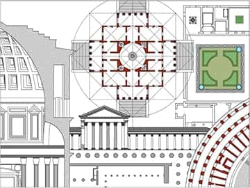
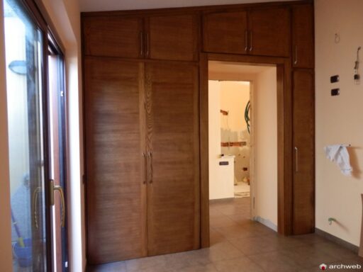
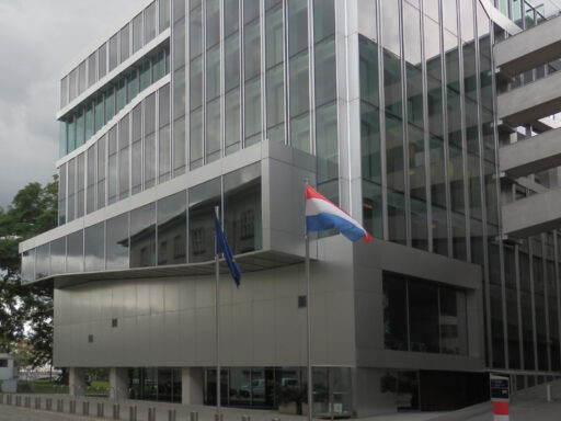
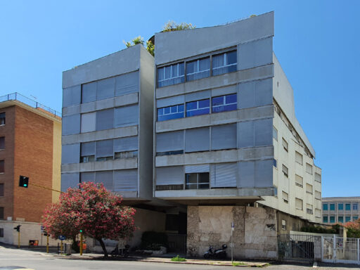
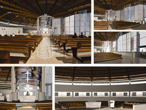
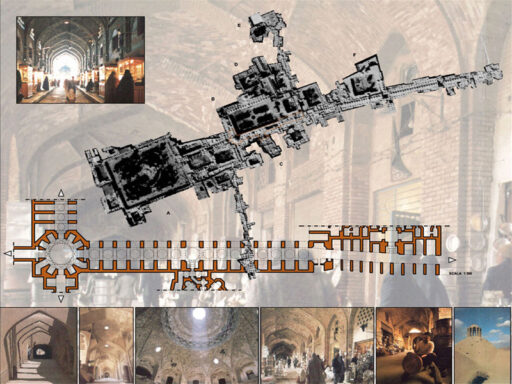
1:100 Scale dwg file (meters)
Conversion from meters to feet: a fast and fairly accurate system consists in scaling the drawing by multiplying the value of the unit of measurement in meters by 3.281
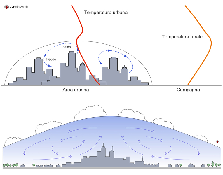
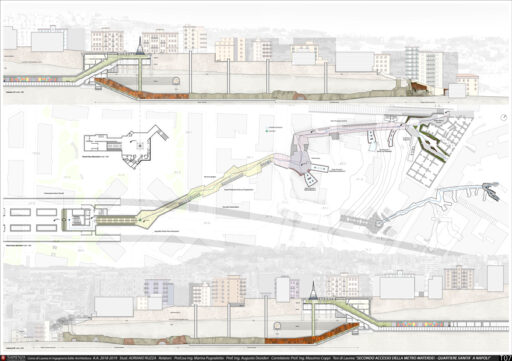
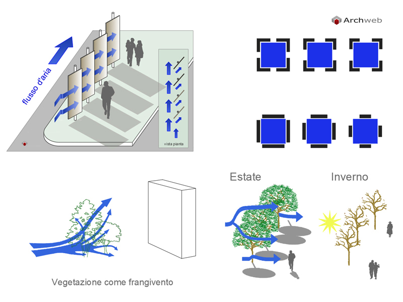
Circulations induced by the island of heat can interact in complex ways with other local circulations (sea-land breezes, valley breezes).
The effects of the night heat island on air quality may be significant, but it is not known a priori if they are positive or negative. The presence of a turbulent nocturnal layer, dominated by a thermal inversion at high altitude, dilutes the local effect of polluting emissions distributing them throughout the urban area, but can thus favor the chemical reactions that give rise to the formation of secondary particulate.
In the lower diagram, the circulations induced by the heat island.
Circulations induced by the heat island can recall cleaner air from the countryside, but they can also converge the polluted air of industrial areas or peripheral road arteries towards the center.
Source: Urban microclimate: impact of urbanization on local climatic conditions and mitigation factors
By Giovanni Bonafè
Recommended CAD blocks
DWG
How the download works?
To download files from Archweb.com there are 4 types of downloads, identified by 4 different colors. Discover the subscriptions
Free
for all
Free
for Archweb users
Subscription
for Premium users
Single purchase
pay 1 and download 1