Ita
Ita


Registered
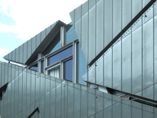
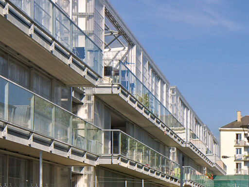
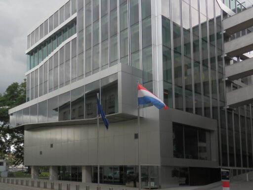
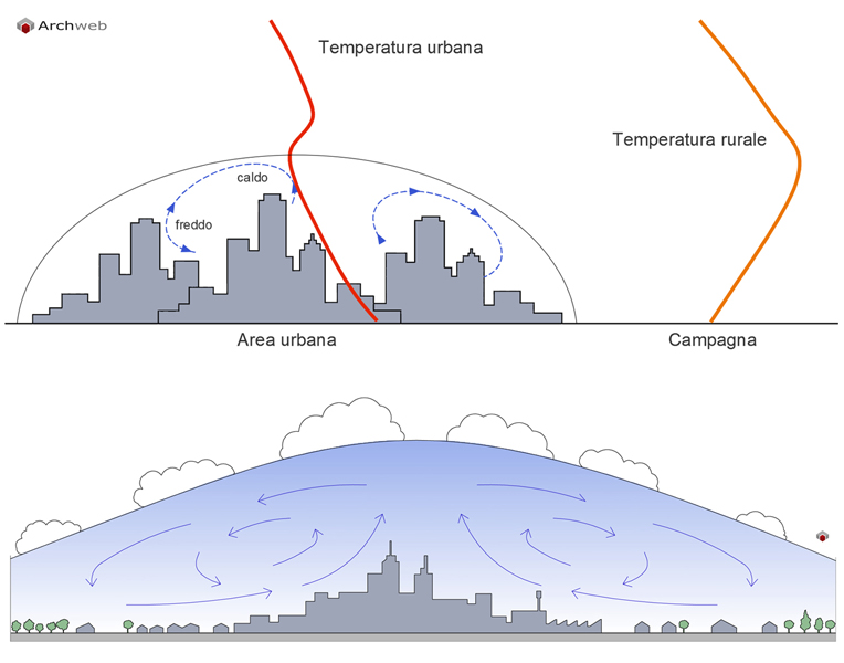
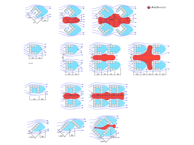
Wind in urban areas
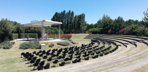
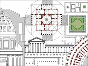
1:100 Scale dwg file (meters)
Conversion from meters to feet: a fast and fairly accurate system consists in scaling the drawing by multiplying the value of the unit of measurement in meters by 3.281
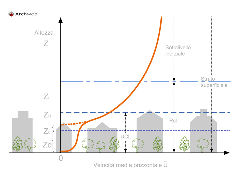
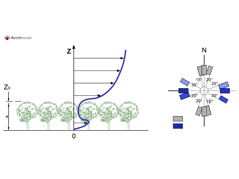
A simplified approach that allows you to describe the average profile of a wind above an urban area, that is to say in general in the presence of a cover (canopy) of aerodynamic obstacles of considerable size and arranged in a compact structure (trees or buildings) , is based on the diagram of the logarithmic profile described in paragraph 2.2 and requires the introduction of a new parameter, the displacement distance Zd.
Idealized wind profile in an urban area (WMO 2006). The continuous thick line represents the trend with the altitude of the mean horizontal wind speed u; the thick dashed line represents the completion of the theoretical logarithmic profile near the roofs of the buildings; Zd is the displacement distance, Z0 the roughness length, ZH the buildings average height, ZF the roughness substrate thickness.
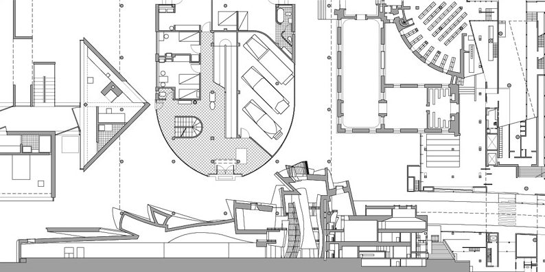
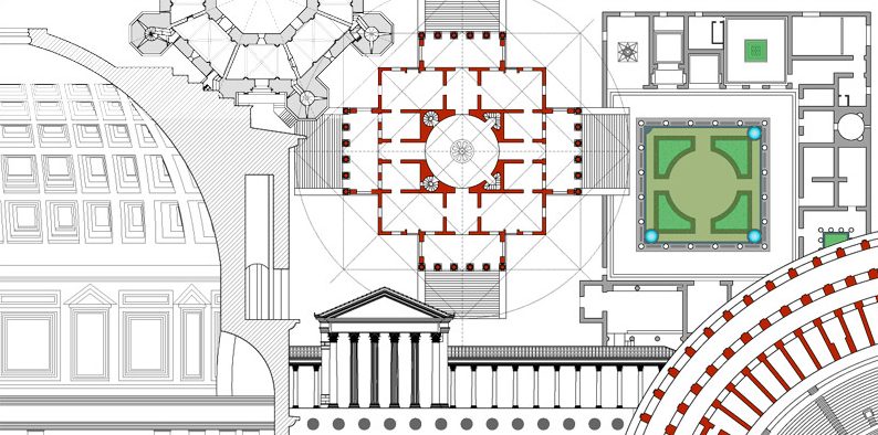
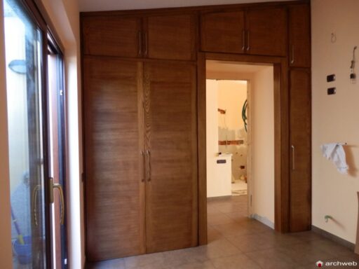
Recommended CAD blocks
How the download works?
To download files from Archweb.com there are 4 types of downloads, identified by 4 different colors. Discover the subscriptions
Free
for all
Free
for Archweb users
Subscription
for Premium users
Single purchase
pay 1 and download 1