
 Ita
Ita


Design categories Graphic symbols - Signals
Accident prevention symbolsAlphabet and Braille in dwgCartographic symbolsCovid-19 Warning SignsElectric symbolsElectronic symbolsEvacuation signsFire fighting symbols dwgGraphic indications bathroomsHydraulic symbolsLegend of the finishesNORTH symbolsRoad signsSports symbolsUrban symbolsVarious symbols dwg
Filters
Types of downloads
File format (dwg and others)
Author
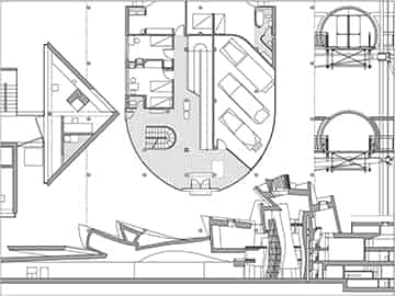
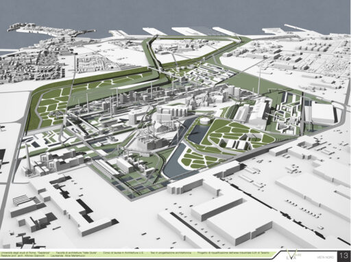
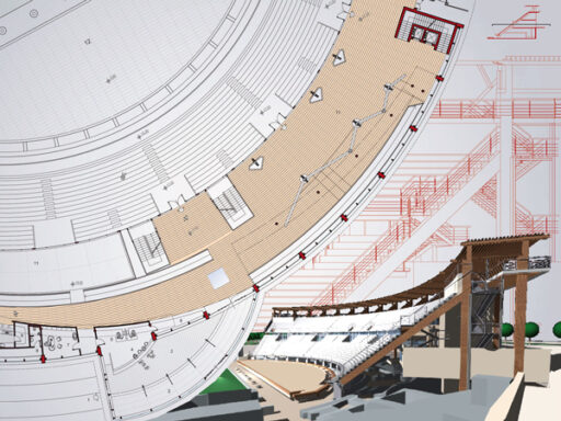
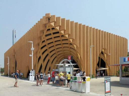
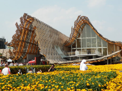
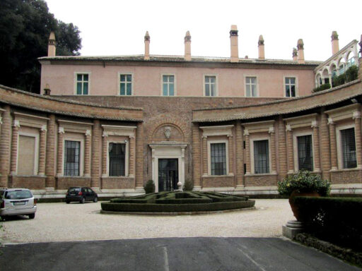
Contemporary architectures
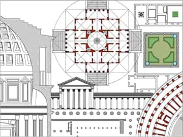
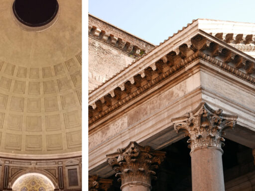
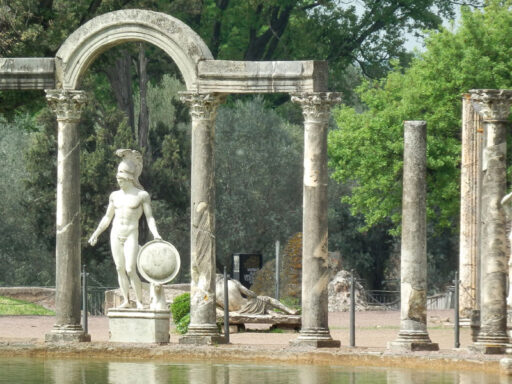
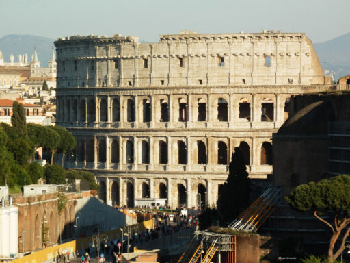
Architecture in history


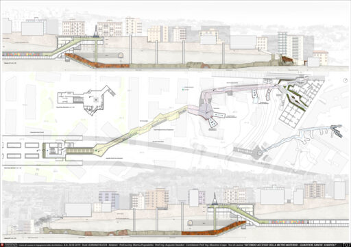
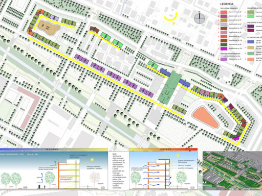
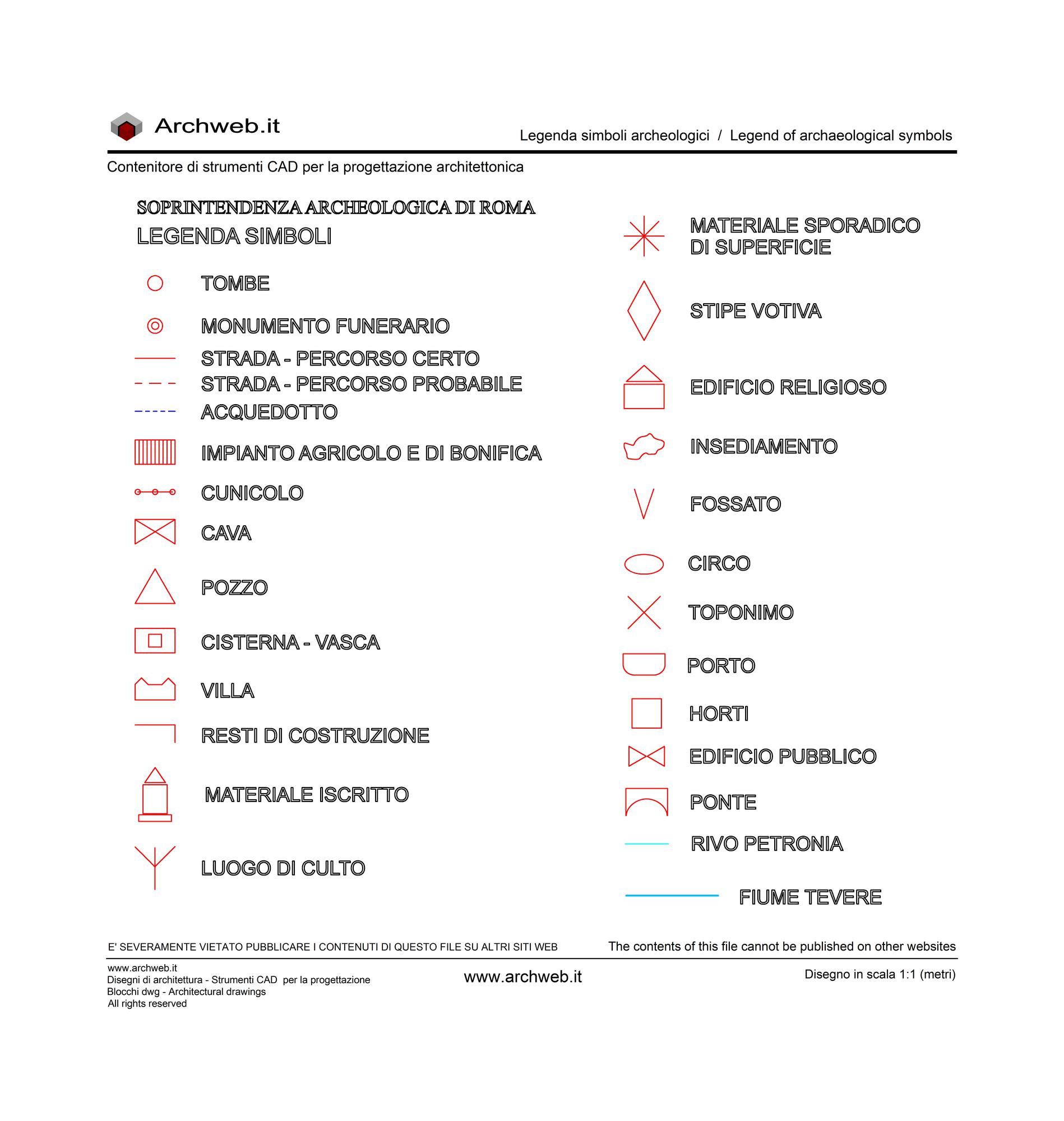
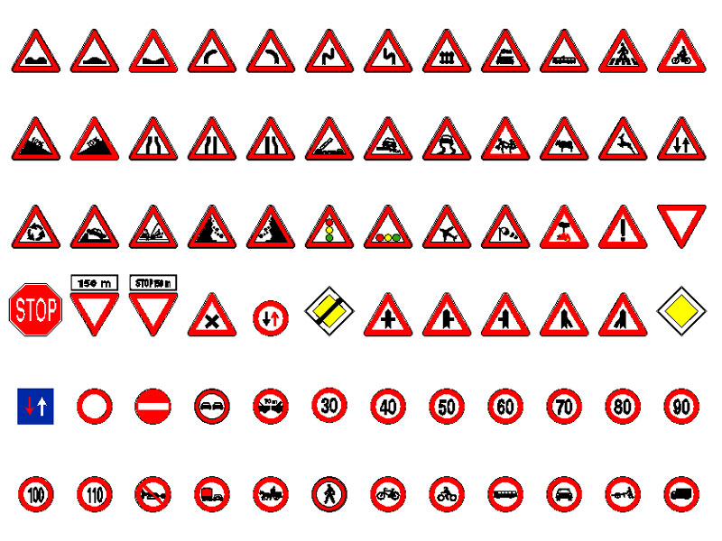
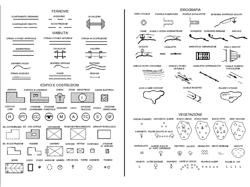
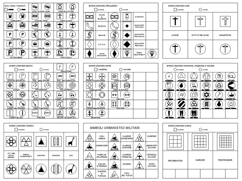
Cartographic symbols
Topographic maps try to ensure that each geographical object is represented with shapes and dimensions similar to reality. However, many objects cannot be scaled on paper, which is why they are represented with a conventional sign.
With conventional signs or cartographic symbols we distinguish roads, particular types of buildings (churches, chapels, factories, etc.), bridges, railways, aqueducts; still others show the characteristics of crops, spontaneous plants and so on.
The conventional signs found on topographic maps are therefore numerous. Many of them can be seen, with the relative explanation, at the bottom of each map of the Italian Military Geographical Institute. (Source: Wikipedia)
In this category there are the legends with the symbols of the most common topographic maps.
Wide choice of dwg files for all the designer’s needs.
Sort by


related cad block categories
How the download works?
To download files from Archweb.com there are 4 types of downloads, identified by 4 different colors. Discover the subscriptions
Free
for all
Free
for Archweb users
Subscription
for Premium users
Single purchase
pay 1 and download 1