A. Salvatori – C. Pincelli – E. Re
Degree thesis in urban and architectural design
Redevelopment project of the IV Municipality of Rome
Tables 1-6: Alberto Salvatori, Cecilia Pincelli, Eugenia Re
Tables 7-10: Alberto Salvatori
Contact email: [email protected]
University of Rome "La Sapienza"
"Valle Giulia" Faculty of Architecture - Degree in Architecture U.E.
Speaker: Prof. Arch. Susanna Menichini
Co-rapporteur: prof. Arch. Alessandra Criconia
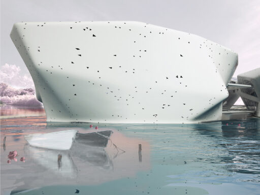
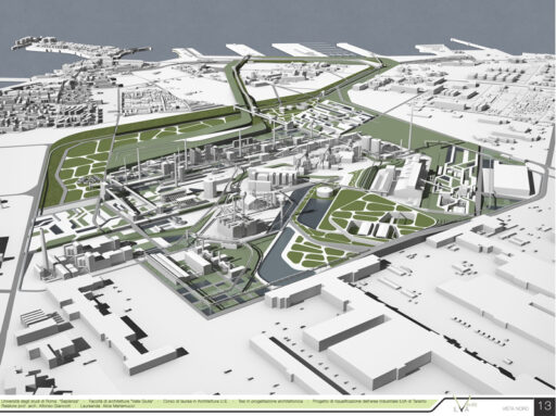
The project takes into consideration an important part of the city of Rome, the current IV Town Hall, an area that is more extensive than the cities of Bergamo and more populous than the cities of Ravenna or Reggio Emilia. A part of the city that sees the presence of Via Tiburtina, a fundamental infrastructure for the city of Rome, and of the Aniene River, which since the Roman period (republican and then imperial) has always guaranteed the presence of human activities in the area.
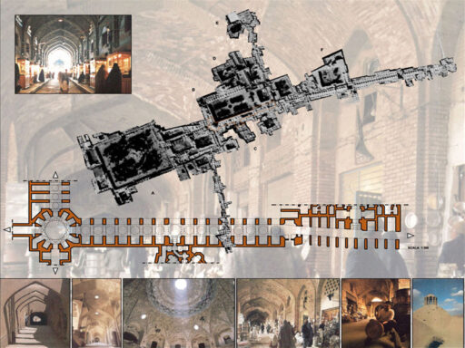
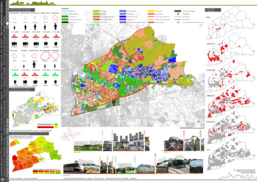
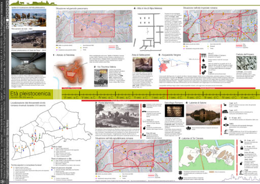
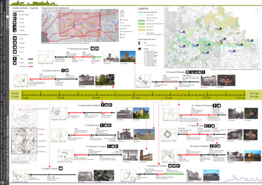
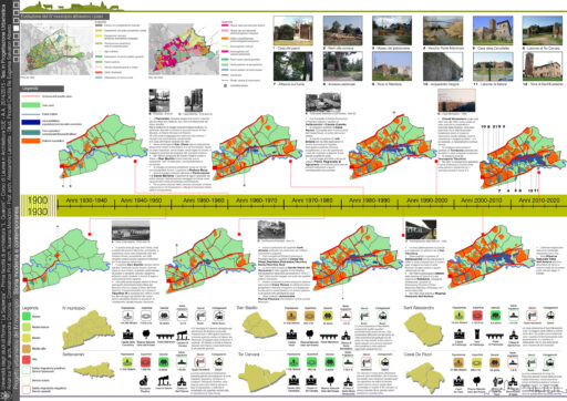
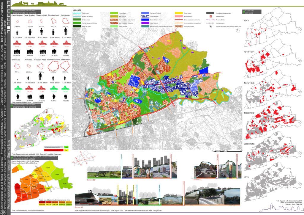
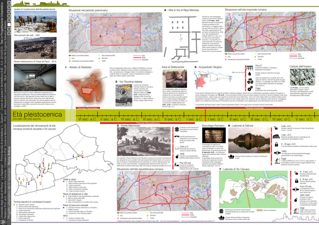
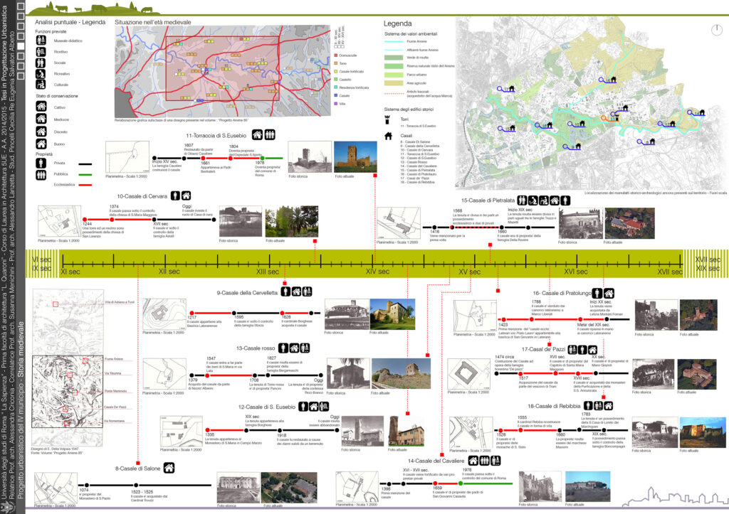
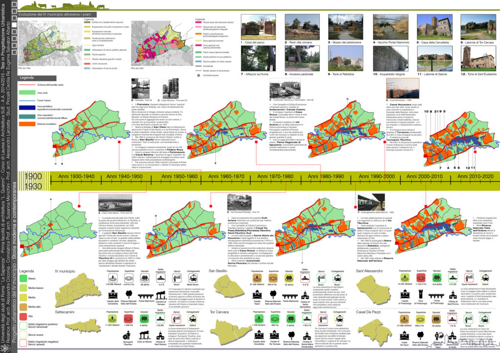
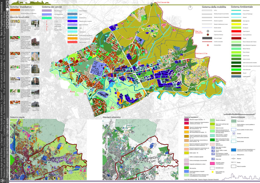
The first table of the project, aimed at the urban redevelopment of the entire municipality, focuses on the current state of affairs and on how this development of the territory has been achieved. The following three tables, thought of as a seamless timeline, show the evolution of the territory starting from the 6th / 5th century. BC, historical moment where for the first time traces of life are found inside the Town Hall. Some of these traces are still visible thanks to punctual interventions that have guaranteed their conservation. The constructive thrust, however, began in the 1940s when, with the construction of the first villages, the town hall saw the birth of the current districts of Settecamini, San Basilio and Tiburtina III.
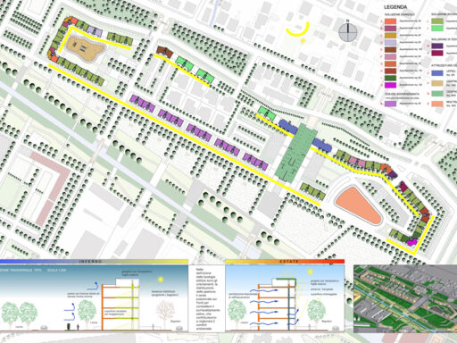
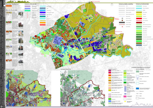
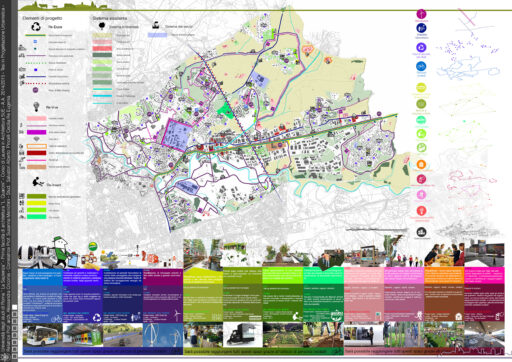
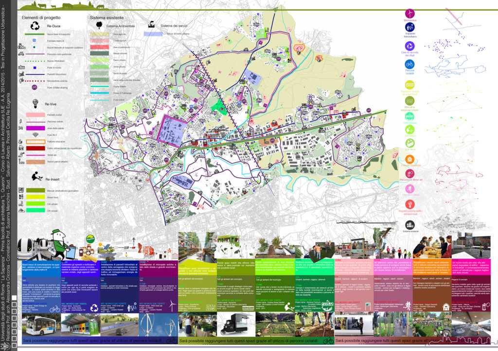
In table 5, in addition to excerpts from the municipal PRG, there is an accurate use of the current soil, where the use of every single building in the eastern part of the town hall is mapped, a portion of the territory where our research was concentrated. The following table, on the other hand, is the heart of the project and sees a schematization of a whole chorus of interventions, closely connected and interdependent with each other, which can be carried out within the Municipality to guarantee an improvement in the quality of life for the inhabitants and the quality of the state of the environment.
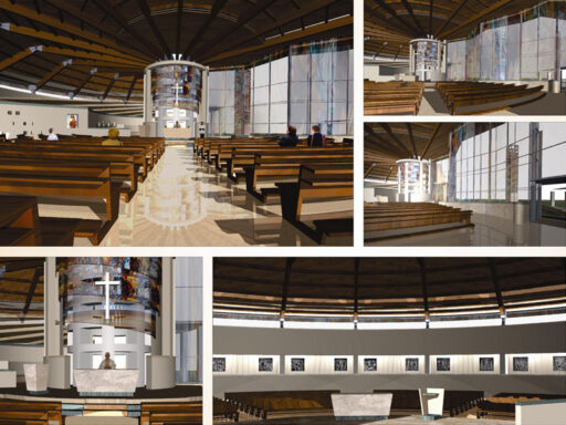
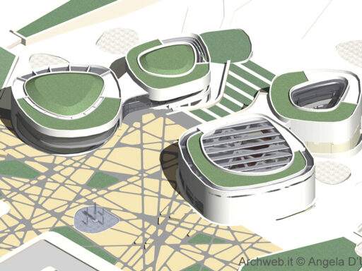
There are three macro sectors that we have identified: Re-Duce, focused on interventions related to the improvement of local public transport, Re-Vive, with interventions that aim to the redevelopment of abandoned spaces within the territory (the municipality has inside a very high number of buildings now in disuse), Re-Insert, a system of production and sale spaces for organic and zero-mile foods.
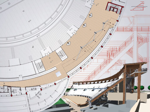
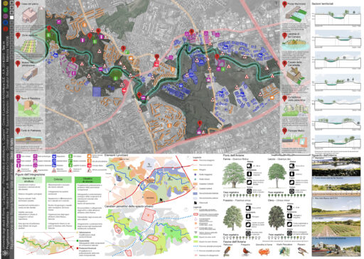
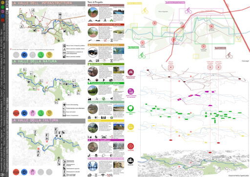
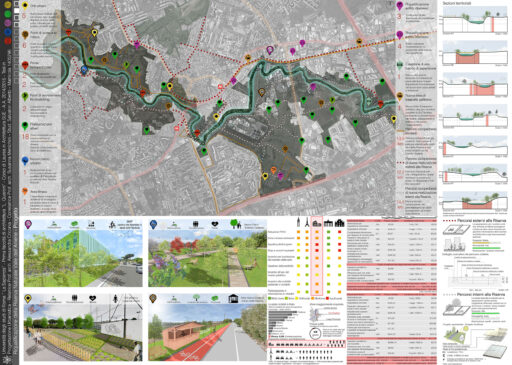
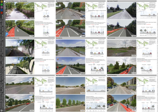
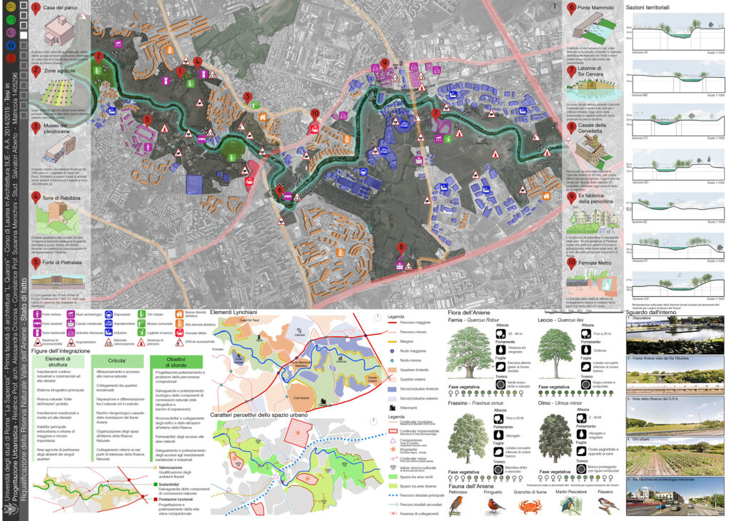
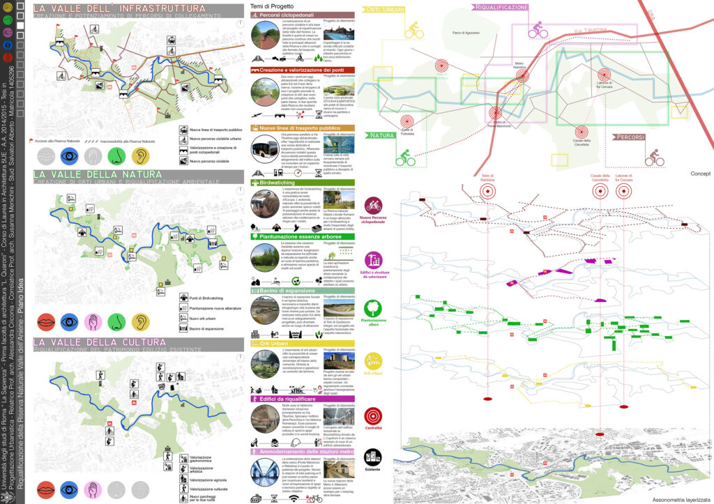
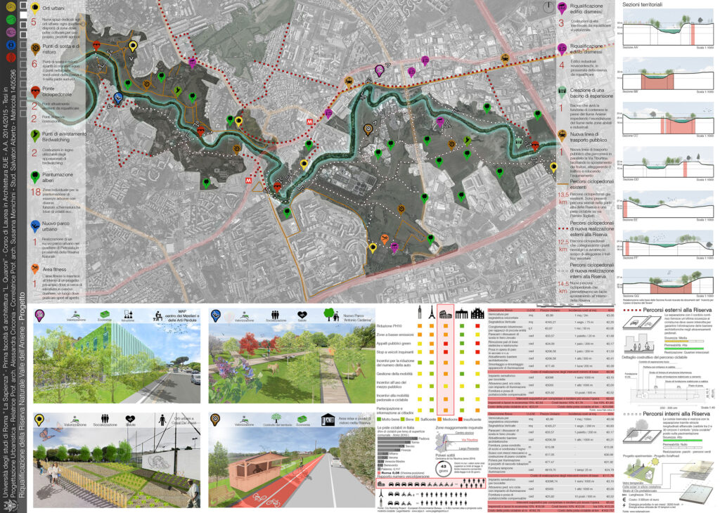
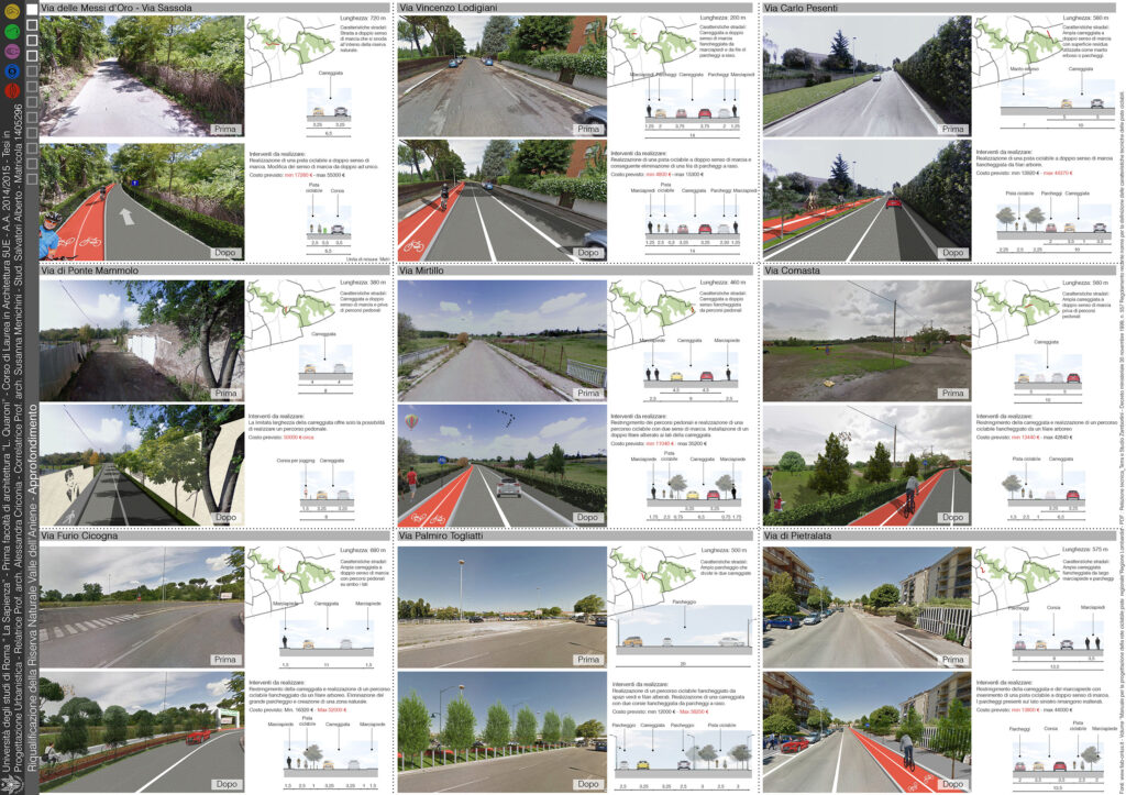
The design zoom focused on the Aniene Valley Nature Reserve, a natural area established in 1997 and extending for 650 ha, cutting the entire town hall from north to south. After a careful analysis of the state of affairs, with the creation of altimetric sections on the river Aniene, with the mapping of the landscape-architectural sites and with the analysis of the flora and fauna present within the Reserve, the creation of a concept divided into three topics: the valley of nature, the valley of infrastructure and the valley of culture, which partially take up the design idea already conceived for the portion of the municipality we studied. Greater attention has been focused on the design of a cycle path that, through the entire valley, can connect all the neighborhoods that overlook the reserve and which, to date, are strongly isolated from each other. Through the redevelopment of two bridges that cross the river, mobility can be improved and facilitated, also by trying to limit the use of cars with significant savings also in terms of air quality.
A. Salvatori – C. Pincelli – E. Re
Author
Category A. Salvatori - C. Pincelli - E. Re
