Ita
Ita


Subscription
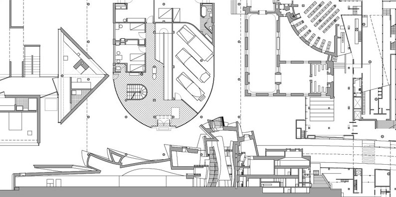
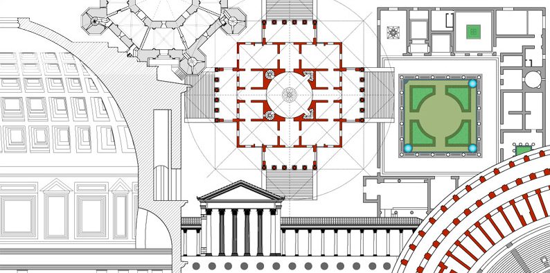
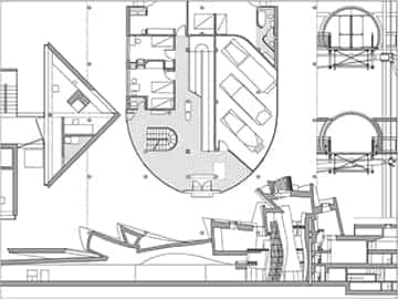
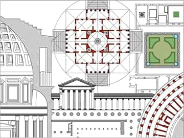
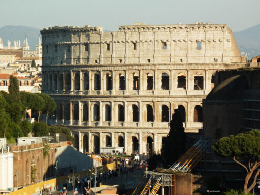
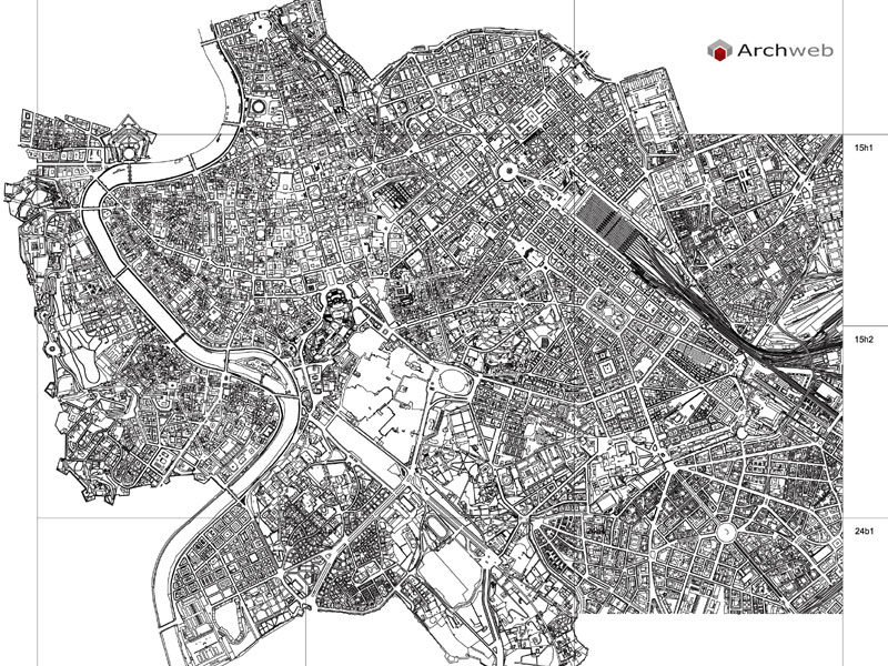
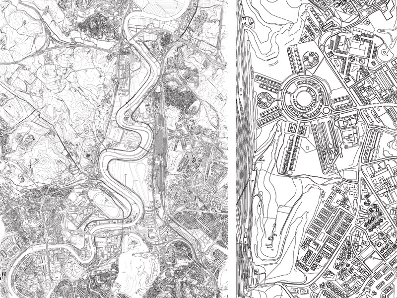
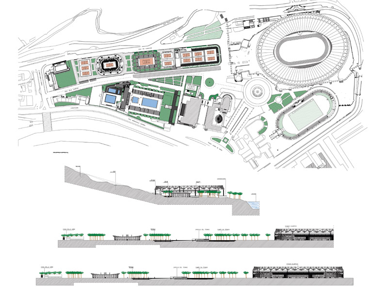
Rome center plan with elevations
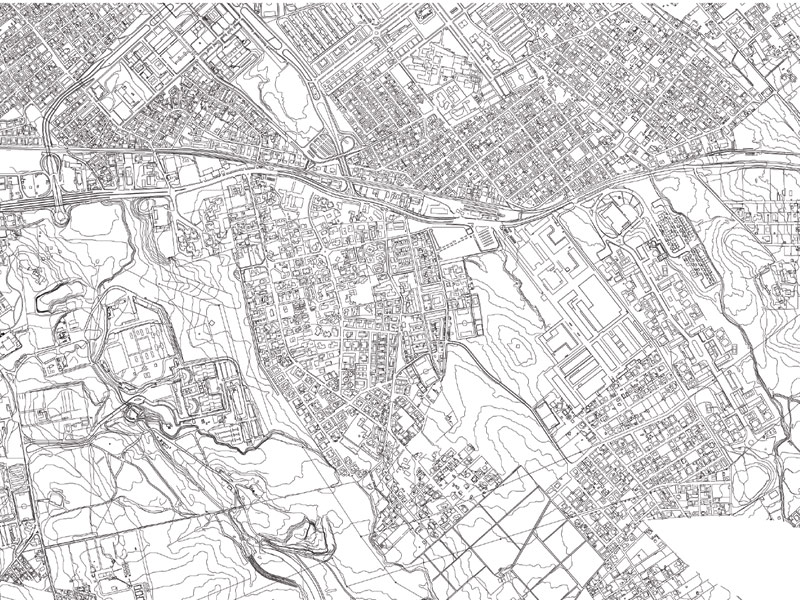
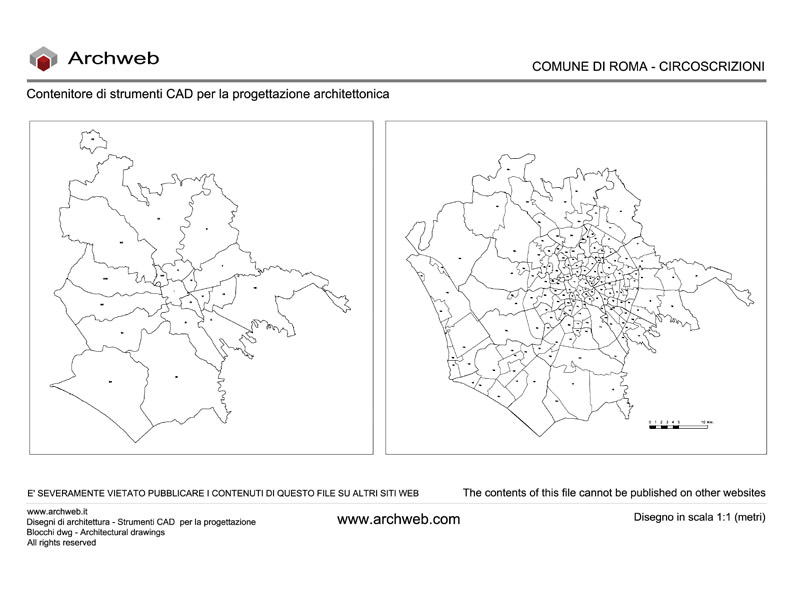
1:1 scale dwg plan (meters)
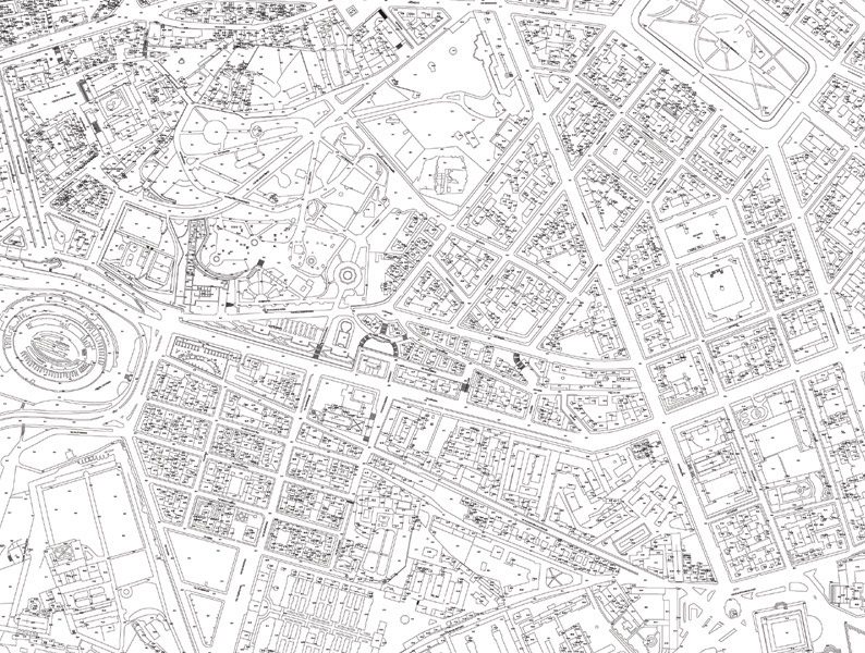
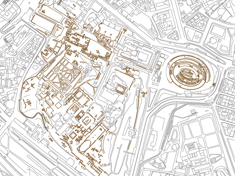
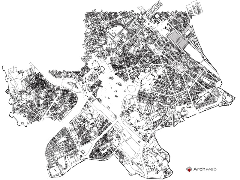
DWG plan of the urban area between the Colosseum, S. Giovanni and Piazza Vittorio
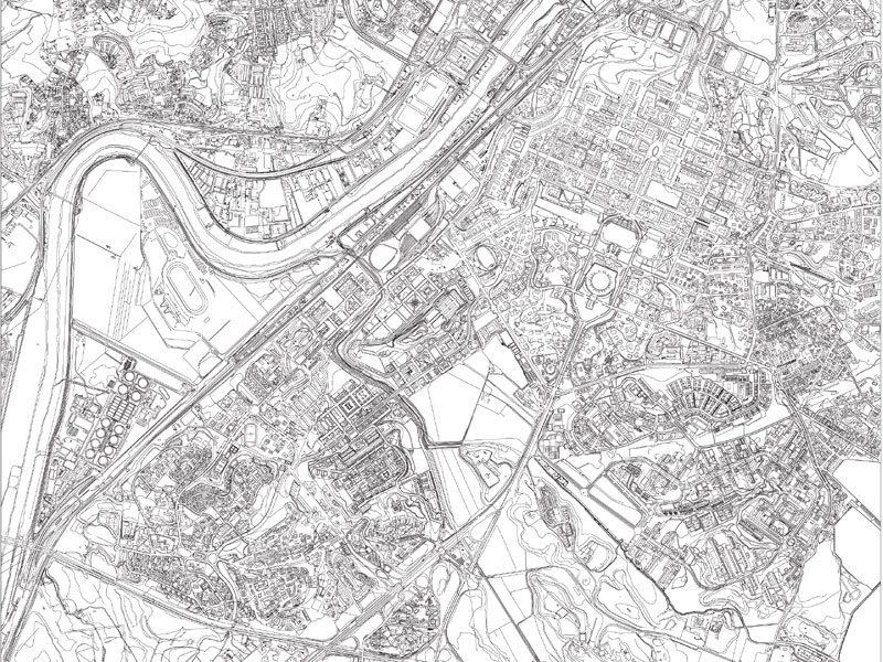
Plan with street names and elevations
We are unable to determine the date of the last update, please refer to the preview.
Recommended CAD blocks
How the download works?
To download files from Archweb.com there are 4 types of downloads, identified by 4 different colors. Discover the subscriptions
Free
for all
Free
for Archweb users
Subscription
for Premium users
Single purchase
pay 1 and download 1