Ita
Ita


Registered
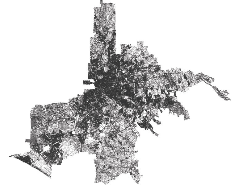
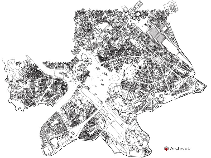
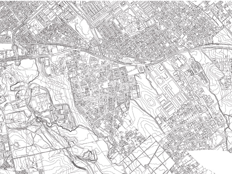
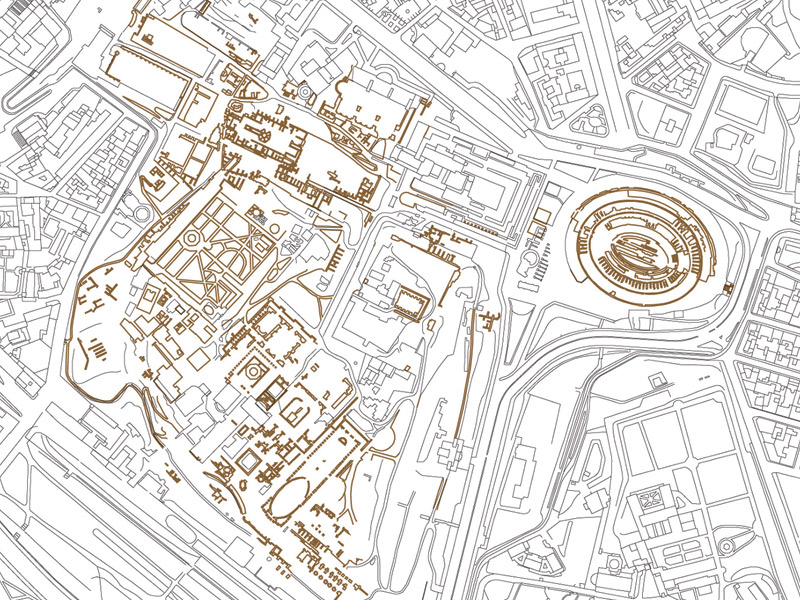
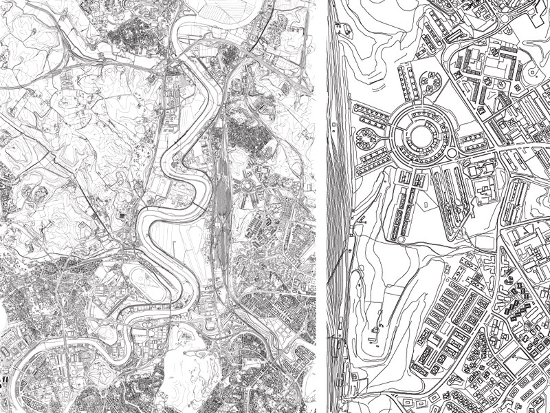
Rome – Circumscriptions Map
Out of scale representation
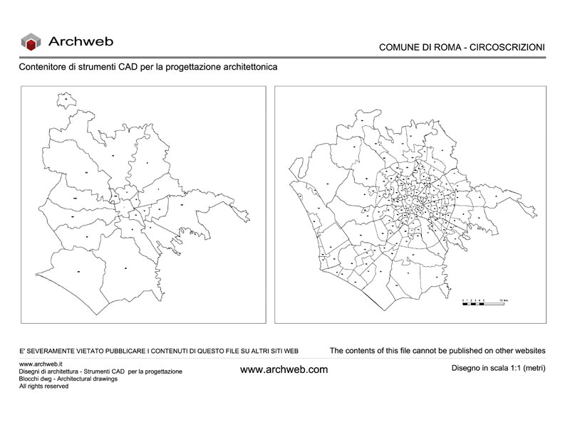
Map in dwg format of the Circumscriptions / Municipalities of Rome Capital
Warning: the perimeters shown on the dwg are indicative and have the sole purpose of locating the Municipalities in the area.
Recommended CAD blocks
How the download works?
To download files from Archweb.com there are 4 types of downloads, identified by 4 different colors. Discover the subscriptions
Free
for all
Free
for Archweb users
Subscription
for Premium users
Single purchase
pay 1 and download 1