Ita
Ita


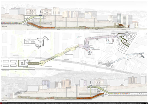
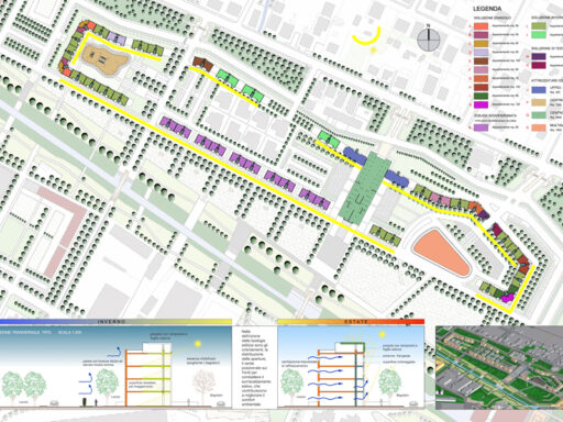


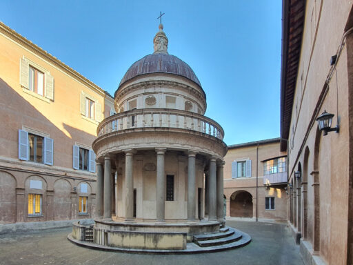


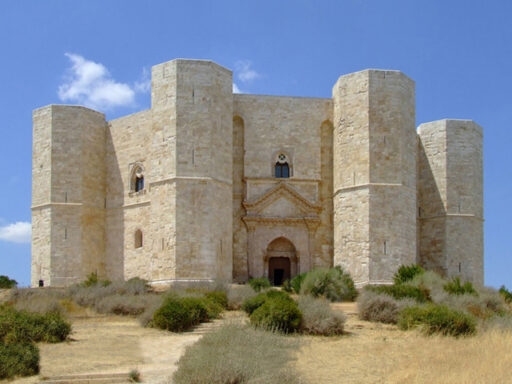
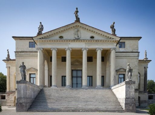
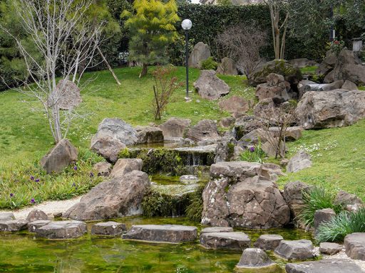
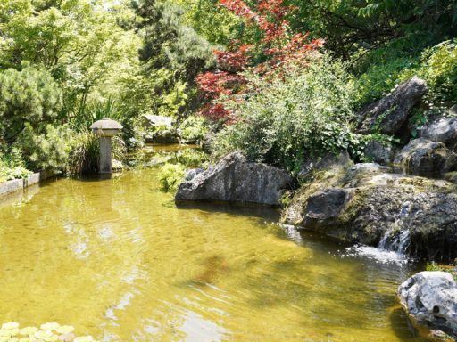


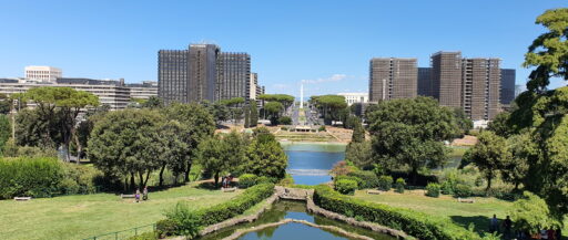
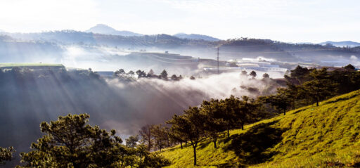
Landscape and territorial analysis
Main phases of research and elaboration of the context


The concept of landscape, considered as a complex system of natural and anthropogenic components integrated with each other, has ancient origins and finds a first acquisition of the concept of landscape in the representation of the territory for the use of the territory of the Municipalities in its maps of 4000 years ago .
In ancient peoples and in different parts of the world different shades are defined also linked to culture, as in the Jewish world the term landscape “noff” appears already in the Book of Psalms, 3000 years ago, in the Roman world the landscape was called by Columella “regio “, underlining the geographical aspect. In the Renaissance in Italy the current term began to be used.
The term Landscape Ecology defines the characteristics of life, recognizing it as a biological system; to this end, the cultural aspects of the anthropic component and the landscape aspects of the plant component can be integrated into the ecological assessment of a complex system.
The Clinical-diagnostic criterion, at the basis of the ecological indicators, has made it possible to develop methods of analysis and assessment of the landscape in relation to living systems.
From this derive the methods of landscape ecology that have at the base of their principles of analysis, nature conservation, land planning, strategic evaluation of the environment, the study of biodiversity, environmental design.
The concepts of ecology and sustainability integrate and complete each other, thus considering the territorial ecological system not as a mosaic of parts but as an “interacting fabric“; it implies local interventions that are able to dialogue with vast more complex systems through strategic planning.
Therefore, at the basis of good territorial planning, there are operations to be carried out to obtain an adequate knowledge of the characters and its characteristic components. The landscape analysis must be followed through the collection of information, cataloging and comparison of data through an accurate survey. The final result depends on the completeness and accuracy of the data obtained.
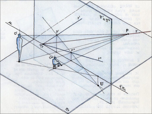
The design levels and relative degree of design scale (analysis scale) vary according to the biotic, spatial, functional and integrated criterion / objective to be analyzed.
The definition of planning strategies has as its purpose the realization of specific objectives which is divided into:
McHarg proposes a method for the definition of suitable areas according to the type of land use, placing the importance of the best choice at the base, understanding the intervention in its broader context.
The information necessary for understanding the place covers basic topics such as: climate, geology, hydrography, ecology, land use, orography.
From this perspective, systematic knowledge of the territory is derived in a hierarchical manner based on the design scale (regional, territorial) and the degree of detail.
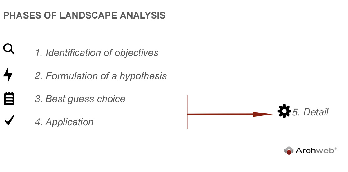
In a first phase, we start with the search for the characteristic factors in the different portions of the territory according to land use; whereas the sum of historical, physical and biological processes in continuous evolution.
In a second phase, the data obtained using a cartography are combined and the different selected factors overlap, this allows us to clearly visualize the identification of the areas and portions of the territory, highlighting the potential and criticalities of the place and being able to develop a project also for the use of multifunctional uses.
Before proceeding to the details, McHarg defines the importance of citizen participation and acceptance, both in the form of information and involvement in the project itself through open forums. The citizen is considered an expert connoisseur of his own territory and an integral part of the social values included in it.
References
Photo cover: Kaveen Me on Unsplash
– G. Oneto Manuale di Pianificazione del paesaggio, Milano, il sole 24h, 1997
– Treccani.it
– Researchgate.net/profile/Davide_Geneletti
– Lecologia-del-paesaggio-come-metodo-nella-pianificazione-territoriale-riflessioni-su-un-caso-di-studio.pdf
https://www.docsity.com/it/risposte-domande-d-esame-pianificazione-ecologica-del-territorio/4107942/