Ita
Ita


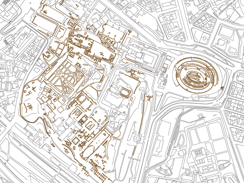
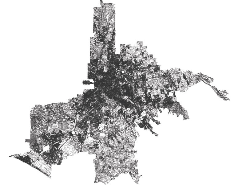
Dynamic comparison Rome center 03
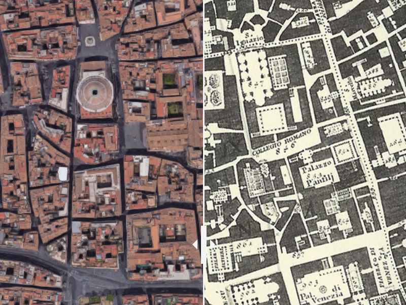
Roma centro - P.zza Navona - Pantheon - P.zza Venezia - Campidoglio

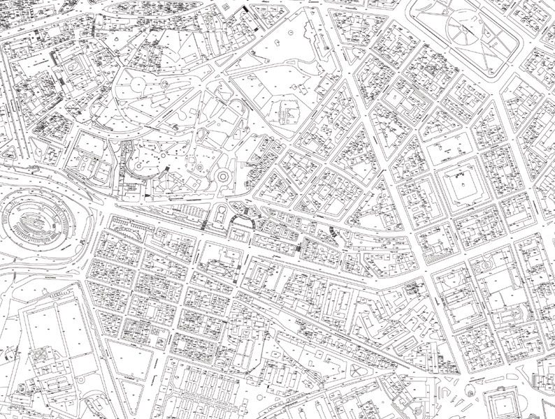
Rome, the development of the territory and urban fabric over the centuries, a dynamic comparison between aerial photos of contemporary Rome (2016) and Giovanni Battista Nolli’s maps from 1748. It is fascinating to see how the fabric of the city has changed, in some parts radically while in others, streets and buildings have remained essentially the same after more than 270 years.
Roma centro - P.zza Navona - Pantheon - P.zza Venezia - Campidoglio
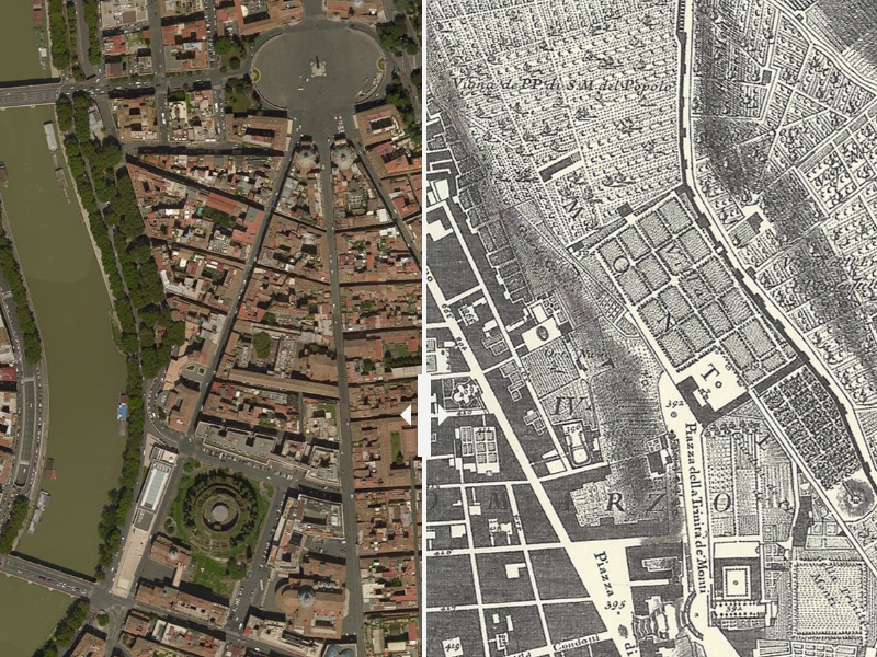
Roma centro - Tridente - P.zza del Popolo - V. del Corso - P.zza di Spagna
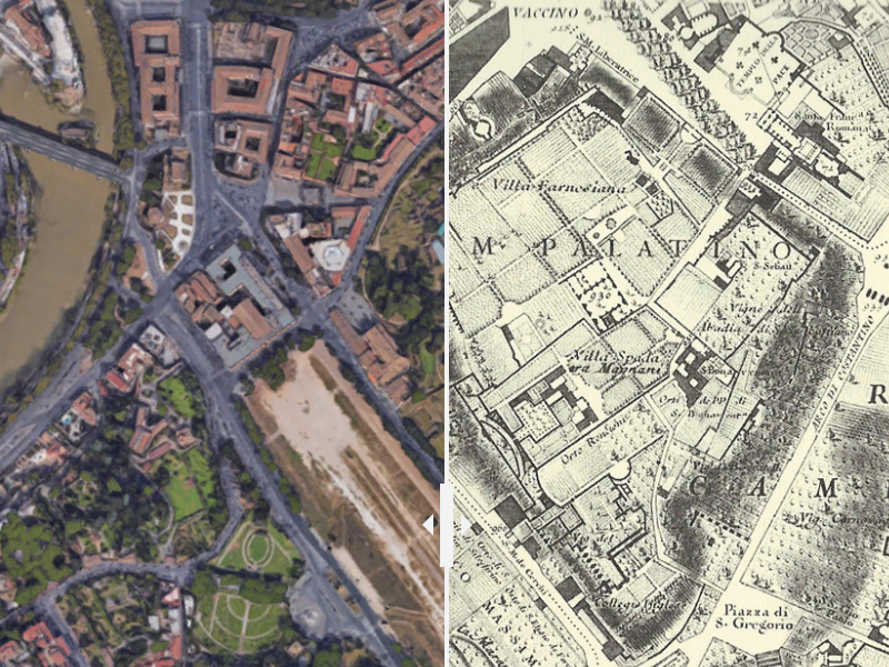
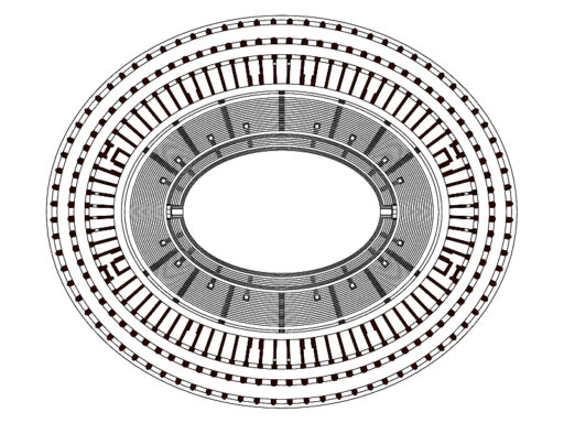
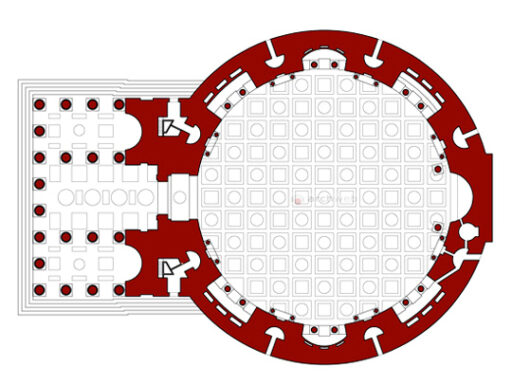
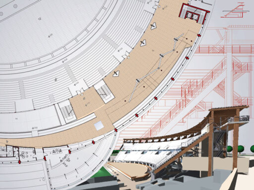
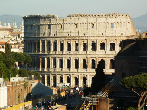
Colosseum - Imperial Forums - Circus Maximus